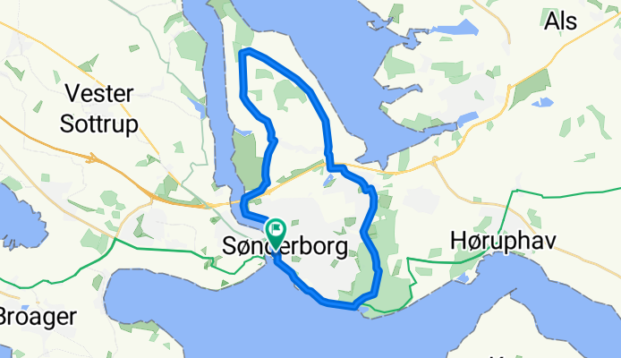
Cycling Route in Sønderborg, Region South Denmark, Denmark
Sønderborg Kommune - 22 km Sønderborg

Open this route in Bikemap Web
Distance
Ascent
Descent
Duration
Avg. Speed
Max. Elevation
Cycling Route in Sønderborg, Region South Denmark, Denmark

Open this route in Bikemap Web
Tips:
Hvis man vil undgå grusvej så kør fortsætad Borgmester Andersensvej/Friheds Allé til Ringgade hvorder drejes til venstre mod Lystbådhavnen. Ellers grusvej fra km 17 til 21, hvis der køres med uret rundt.
Udsigtspunkter:
Sønderborg Havn (km. 0-2)
Arnkil (km. 10-12)
Sønderskoven (km. 19-22)
Før musen hen over højdekurven for at se kilometerpunkter.

You can use this route as a template in our cycling route planner so that you don’t have to start from scratch. Customize it based on your needs to plan your perfect cycling tour.