Premium Badge Download on the App Store Get it on Google Play Turn-by-turn Navigation Offline Maps Bike Type Optimized Routing Premium Maps Custom Bike Computer Export Routes Route Previews Fall Detection Premium Support

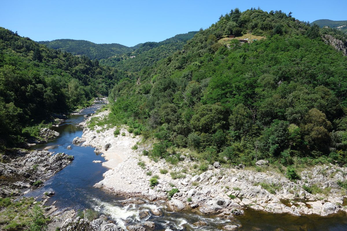
Cycling Route in Saint-Sauveur-de-Montagut, Auvergne-RhĂ´ne-Alpes, France

2016 Ride Day 107 - St-Sauveur-de-Montagut Circle to Le Cheylard

2
Open this route in Bikemap Web

Open this route in Bikemap Web

51 km
Distance
680 m
Ascent
680 m
Descent
-:-- h
Duration
-- km/h
Avg. Speed
--- m
Max. Elevation

About This Route

We'd intended a much longer ride, but the heat was too much and we aborted the original plan on the steep climb on D204 out of Le Cheylard.

The bicycle path from an old railway line was excellent...as long as one has relatively hefty tires. Our 700Cx35 tires did fine. This would not be good for narrow racing bike tires.

Beautiful countryside. We highly recommend this.

Note that the profile and the elevation gain/loss numbers make no sense. Both the rail trail up and D120 back down were pretty much constant and gradual. The elevation gain shouldn't be more than 350 or 400 at the most.

This cycling route is ideal for: MTB City bike

You will cycle on the following surfaces: Paved Unpaved

Route Photos

Customize this cycling route with the Bikemap route planner.

Make it yours!

You can use this route as a template in our cycling route planner so that you don’t have to start from scratch. Customize it based on your needs to plan your perfect cycling tour.