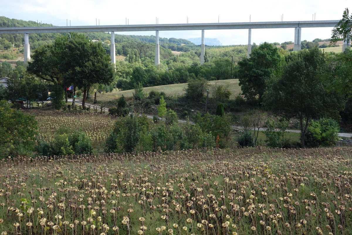
Premium Badge Download on the App Store Get it on Google Play Turn-by-turn Navigation Offline Maps Bike Type Optimized Routing Premium Maps Custom Bike Computer Export Routes Route Previews Fall Detection Premium Support

Cycling Route in Soyons, Auvergne-RhĂ´ne-Alpes, France

2016 Ride Day 153 - Valence to Donzère

0
Open this route in Bikemap Web

Open this route in Bikemap Web

79 km
Distance
456 m
Ascent
504 m
Descent
-:-- h
Duration
-- km/h
Avg. Speed
--- m
Max. Elevation

About This Route

Great ride on mostly zero and low traffic roads. D111 was not such a road, but it did have good shoulder. Same for D844, though there was a sliver of a shoulder to ride on.

D113 was an especially nice portion of the ride. It peaked at 395M at the Col de Devès.

This cycling route is ideal for: Road bike

You will cycle on the following surfaces: Paved

Route Photos

Customize this cycling route with the Bikemap route planner.

Make it yours!

You can use this route as a template in our cycling route planner so that you don’t have to start from scratch. Customize it based on your needs to plan your perfect cycling tour.