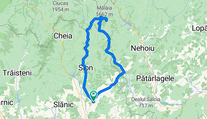
Cycling Route in Drajna de Sus, Prahova, Romania
Lacul Vulturilor via Tabla Butii

Open this route in Bikemap Web
Distance
Ascent
Descent
Duration
Avg. Speed
Max. Elevation
Cycling Route in Drajna de Sus, Prahova, Romania

Open this route in Bikemap Web
Very nice mtb trip in Siriu and Tataru mountains, all the way up to Eagle's Lake. The route is mainly on forest roads. Starting with km 39 you will have 1,4 km / 42 min of push/hike-a-bike. There are touristic markings on trees (red vertical line between two white lines) but the trail is old and full of twigs, branches and dead leafs. You can follow the trail/gps track only on daytime, otherwise you will get lost.

You can use this route as a template in our cycling route planner so that you don’t have to start from scratch. Customize it based on your needs to plan your perfect cycling tour.