Premium Badge Download on the App Store Get it on Google Play Turn-by-turn Navigation Offline Maps Bike Type Optimized Routing Premium Maps Custom Bike Computer Export Routes Route Previews Fall Detection Premium Support

Cycling Route in Comeglians, Friuli Venezia Giulia, Italy

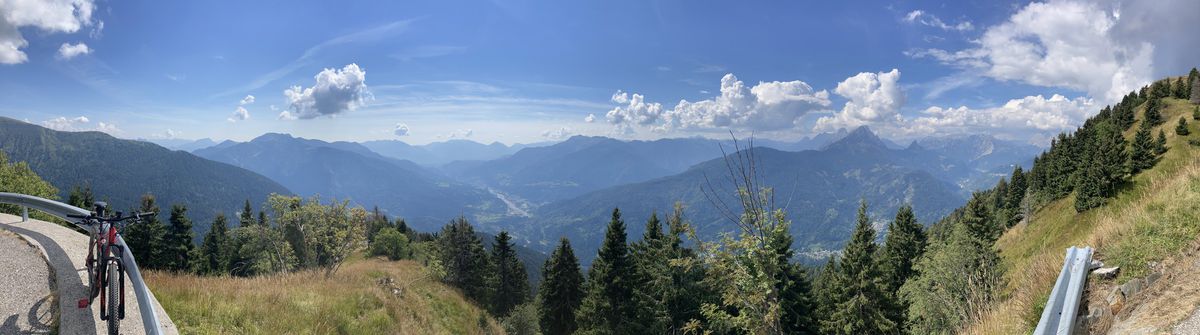
Panoramica delle Vette da Comeglians

2
Open this route in Bikemap Web

Open this route in Bikemap Web

39 km
Distance
1706 m
Ascent
1701 m
Descent
-:-- h
Duration
-- km/h
Avg. Speed
1981 m
Max. Elevation

About This Route

Una delle “classiche” della Carnia. La salita fino al rifugio Chiadinas è tutta su asfalto e con pendenza media del 10% (alcuni tratti al 15%). Dal rifugio c'è la bellissima traversata in quota su strada bianca prima della lunga discesa su asfalto a Ravascletto e quindi a Comeglians.

This cycling route is ideal for: Road bike MTB City bike

You will cycle on the following surfaces: Paved Gravel

Route Photos

Customize this cycling route with the Bikemap route planner.

Make it yours!

You can use this route as a template in our cycling route planner so that you donโ€™t have to start from scratch. Customize it based on your needs to plan your perfect cycling tour.