Premium Badge Download on the App Store Get it on Google Play Turn-by-turn Navigation Offline Maps Bike Type Optimized Routing Premium Maps Custom Bike Computer Export Routes Route Previews Fall Detection Premium Support

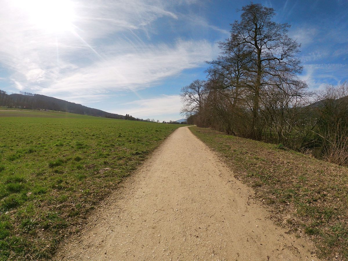
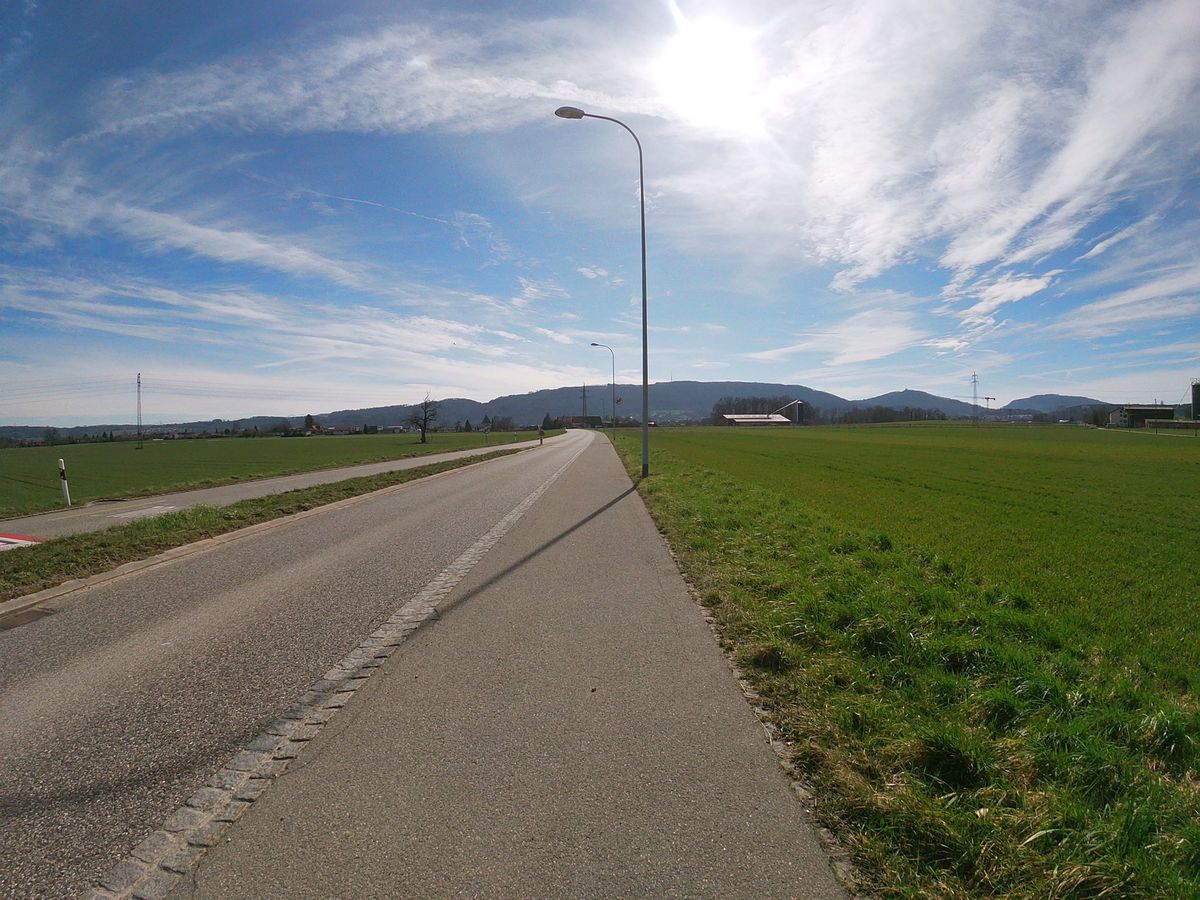
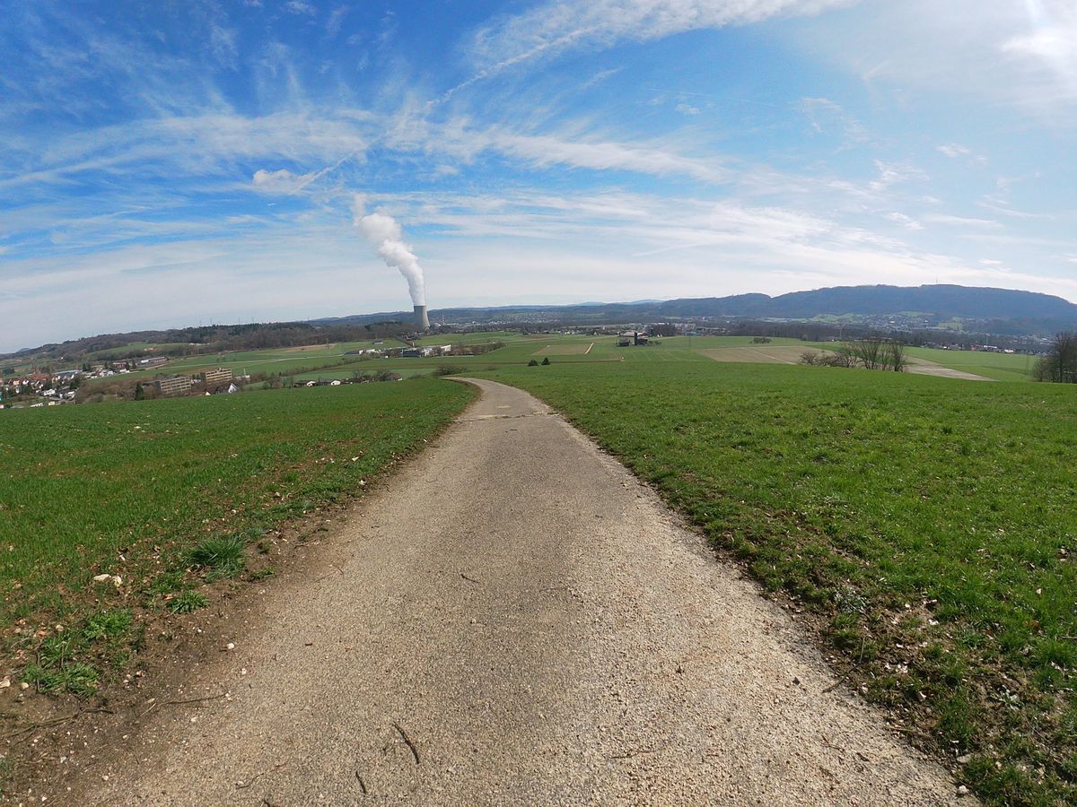
Cycling Route in Wangen, Canton of Solothurn, Switzerland

Trimbach; Mahren; Dulliken; Wangen b. Olten

1
Open this route in Bikemap Web

Open this route in Bikemap Web

23 km
Distance
441 m
Ascent
433 m
Descent
1:12 h
Duration
18.9 km/h
Avg. Speed
--- m
Max. Elevation

About This Route

This cycling route is ideal for: MTB

You will cycle on the following surfaces: Paved Unpaved

Route Photos

Customize this cycling route with the Bikemap route planner.

Make it yours!

You can use this route as a template in our cycling route planner so that you don’t have to start from scratch. Customize it based on your needs to plan your perfect cycling tour.